
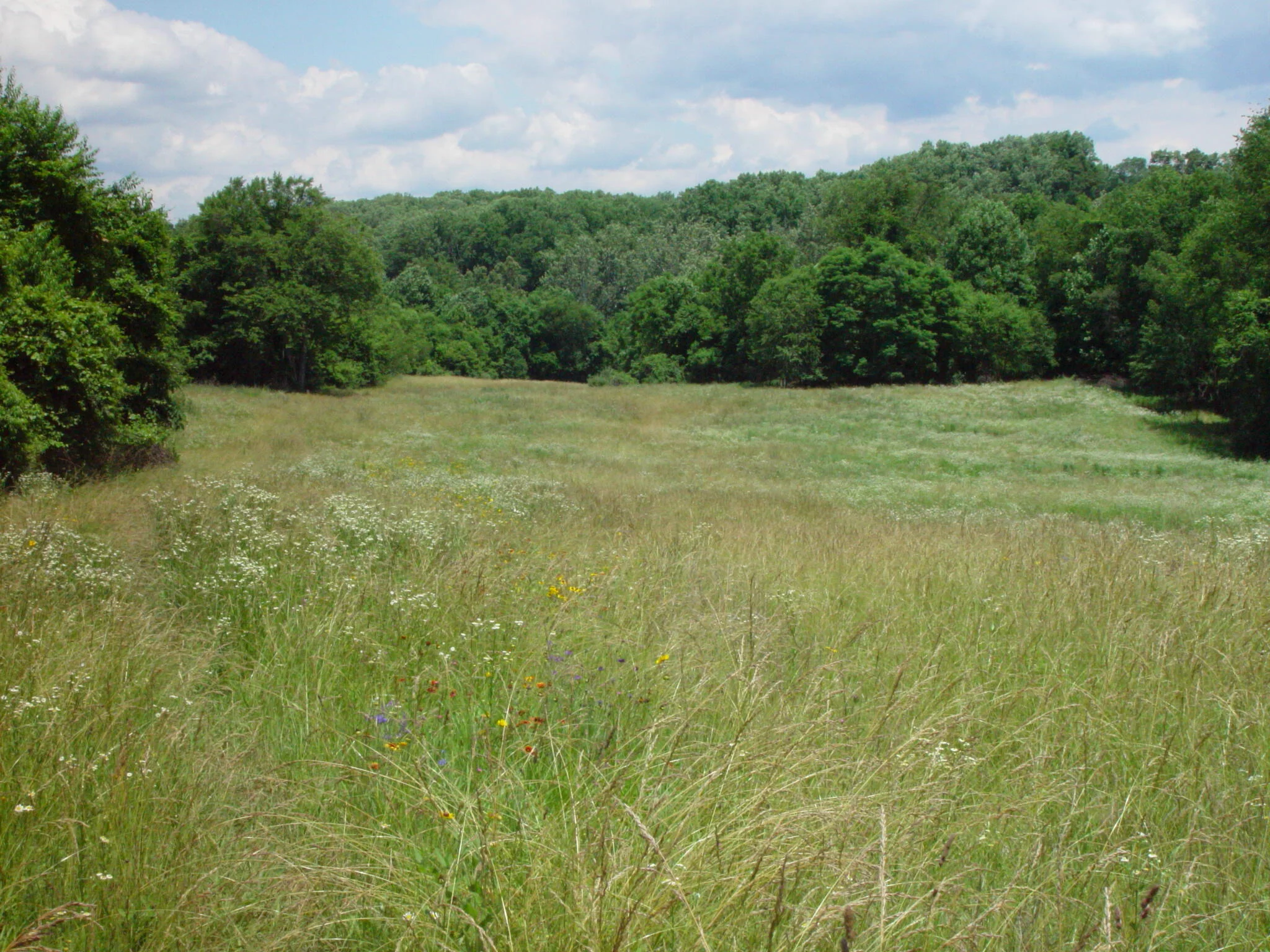
In 1996, the Middle Patuxent Environmental Area (MPEA) was dedicated as a “forever protected” natural environmental area. At 1,021 acres, it is the largest area in Howard County’s system of parks, open space and natural resource areas. The property was purchased by the County from The Howard Research And Development Corporation (HRD) with assistance from Maryland’s Program Open Space. HRD then placed $1.76 million in trust and formed the Middle Patuxent Environmental Foundation (MPEF) to serve as trustee of those funds.
Howard County’s Department of Recreation and Parks manages the area in a cooperative partnership with the MPEF. The area is managed using ecosystem management concepts to restore and protect the diversity of communities found in this region. The MPEF provides funding support and program and management advice to the County in its mission of maintaining the area.
Records, dating back to the early 1800's, show that the northern section of the MPEA was owned by Charles Carroll of Carrollton. Carroll served on Maryland’s first senate in 1777, was a member of the Continental Congress, a signer of the Declaration of Independence, and served as a U. S. Senator from 1789 until 1792.
By all accounts, agriculture was the primary land use employed in the area until about 1930, when the milling industry ended. Some small farms may have still been scattered throughout the MPEA as late as the 1960's. HRD bought the majority of the property in 1963, when it was no longer used for farming or milling.
